
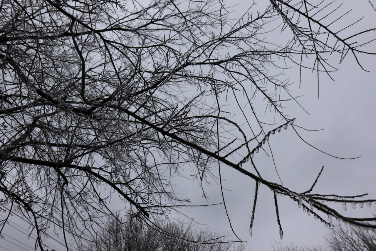
AUSTIN (KXAN) — Spotty to scattered wintry mix showers will be possible Sunday morning and afternoon ahead of the main storm expected later tonight. A light glaze of ice is possible on elevated and exposed surfaces – officials advise to stay home and off the roads but if you must leave, use extreme caution while traveling.
Heavy sleet and snow is expected to pick up by evening and continue overnight into Monday morning. Temperatures are expected to drop into the single digits by Monday morning and remain in the teens for 24+ hours. If temperatures stay beneath 20 degrees on Monday (as is forecasted), this will make for the coldest day in Austin history.
Credit: Source link
